AI Solution for Spatial Data Creation and Utilisation
Map out your building spaces virtually into 3D spatial data.
Easily identify equipment and assets and share the information quickly.
What is spatial data utilisation?
For existing structures lacking BIM or blueprint updates, we can recreate or restore pre- and post-renovation interiors, assets, and hidden infrastructure like ceiling pipes into 3D virtual environments for analysis.
Access the virtual spatial data remotely via your PC or tablet, eliminating the need for on-site visits. This feature offers distance measurements, interactive annotations, integration with existing ledger systems, and enhanced automation and support via diverse AI tools.
*AI functions will be added progressively.
Key benefits
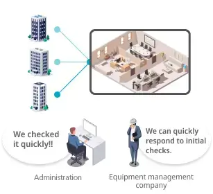
Improved building management
The number of visits to the site and the number of people required can be kept to a minimum, and spatial data can be used to quickly confirm information at any time, contributing to improved management quality.
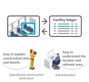
Smooth image recognition and matching
Spatial data simplifies visual searches with a recognisable layout, enables linking to and verification from current ledgers, and facilitates precise information matching among individuals in various roles.
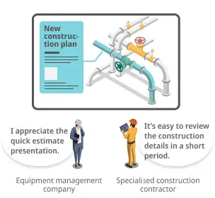
Efficient planning and implementation
With quick access to comprehensive equipment data and historical records, alongside the ability to preview simulations, you can create and implement precise construction plans in less time.
Example usage scenarios

Office building
Hospital/School/Research facility

Hotel/Commercial facility

Factory/Plant
Operation/Service
Assets/Equipment/Energy/Space utilisation/Cleaning/Security/Disaster mitigation
Maintenance
Daily inspection/Regular inspection/Maintenance/Repair/Renovation
Features

No app installation required, direct access via web browser
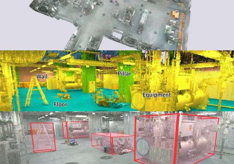
Automatic classification/Model/Ledger creation
*Under development

Record measurements and notes at relevant locations in spatial data
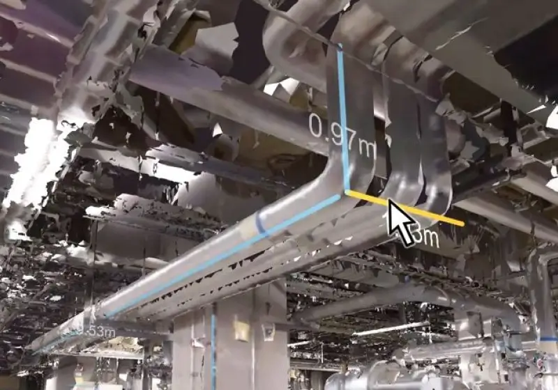
Automatic measurement
*Under development

Enhanced integration with your existing spatial data and ledger systems
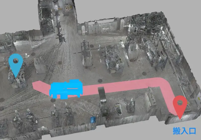
Delivery route simulation
*Under development
Service flow
STEP 1
Apply for a trial
↓
STEP 2
Choose a service
Please select your desired service. All spatial data creation work is carried out by Ricoh.
Spatial Data Creation Service

Data capture
*You can also use your existing spatial data.
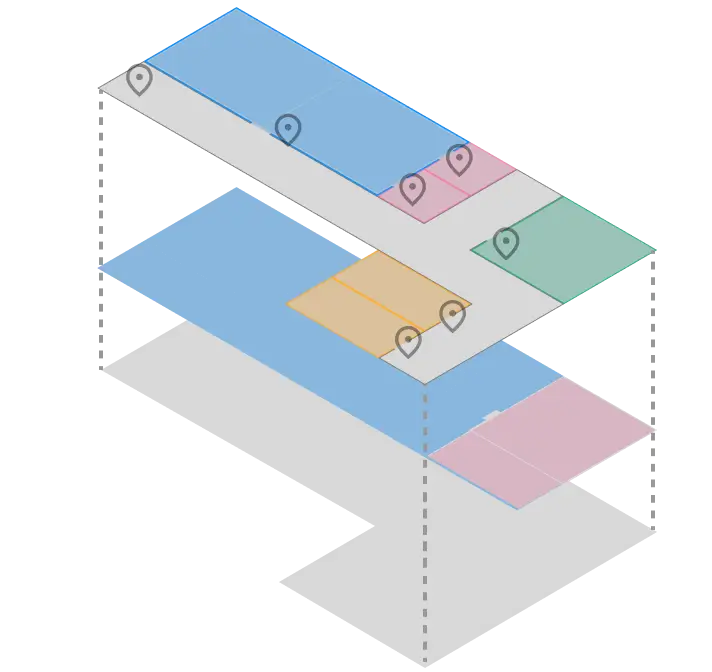
Data processing
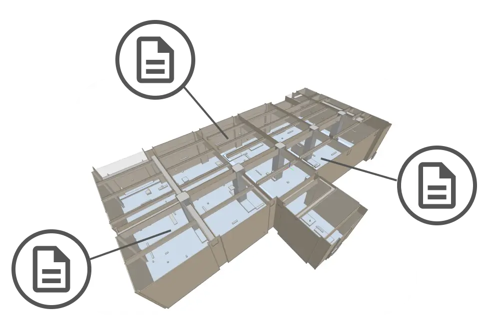
Linking ledgers and related information
Data Utilisation Service
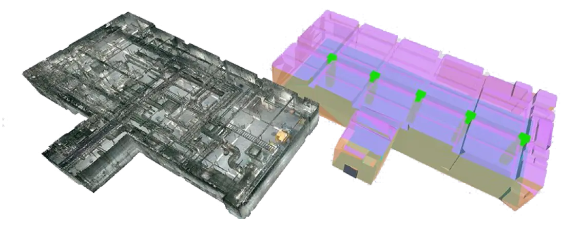
BIM creation (IFC format)

Various AI processing
STEP 3
Start using spatial data
View data using a web browser.
